Search faster.
Coordinate smarter.
See every drone, every team member, and every search area in real time.
See it in action
See every drone, every team member, and every search area in real time.
See it in actionSearch operations are difficult to coordinate.
Teams can't share information easily.
Coordinators rely on verbal updates.
Other drones in the area are invisible.

Complete situational awareness for every member of the search operation. Drones in the air, teams on the ground and everything in between.
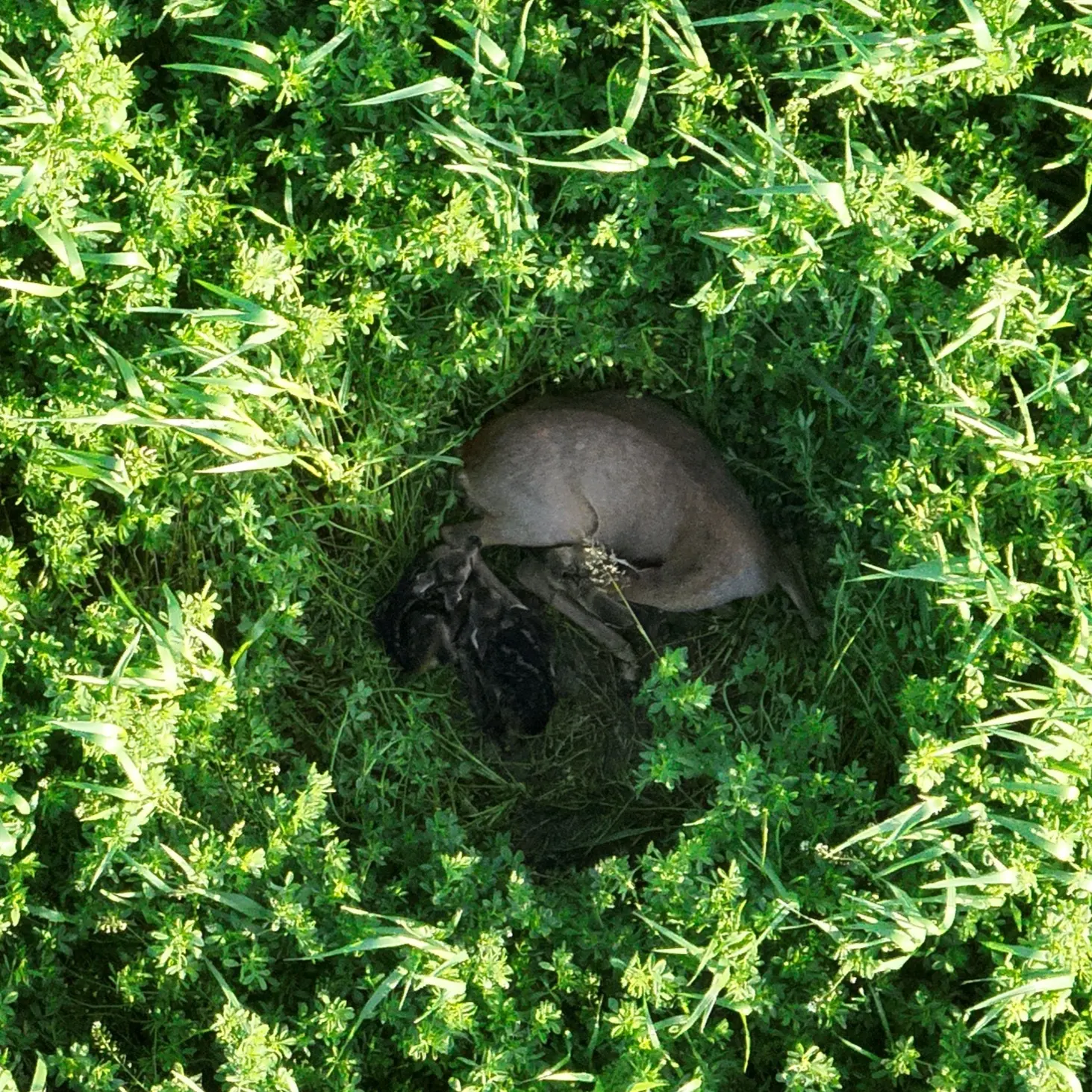
As soon as a picture is taken, it's available to every other team member. No more relying on descriptions over the radio. Everyone knows where and what was found.
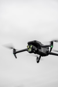
Larger search operations sometimes attract outside drones. They're visible to all pilots if they're detected by anyone using the app. All phones become sensors for rogue drones.
You don't need anything else
FOR PILOTS

See where you can fly and who is flying around you.
Get the companion appFOR SEARCH ORGANISATIONS

Airspace awareness
OpenSAR detects all nearby drones and displays them to every team member. Pilots see them on the controller, ground teams see them in the app or on the browser. Complete airspace awareness for everyone

PRICING
All plans are free for the first 3 months
Ground team Members
Ground teams take part in searches. There's no cost for volunteers taking part in a search.
/ month
Pilots can see where they are allowed to fly and who is flying around them
/ month
Don't pay for individual accounts.
